Grassroots Gold Exploration Along the Manh Choh Trend in Eastern Alaska
Key Highlights
64,900 Acres
A large, consolidated claim block staked to cover favorable Manh Choh stratigraphy mapped along trend by State geologists.
Along the Manh Choh Trend
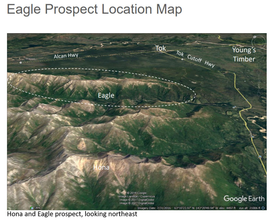
The Eagle block is underlain by geology similar to the northern Tetlin Hills, host to the producing Manh Choh mine.
10+ km Anomalous Gold Corridor
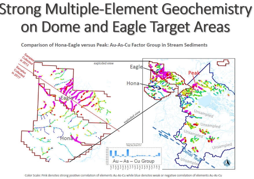
Reconnaissance sampling identified a corridor more than 10 kilometers long in which every sampled creek is strongly anomalous in gold, arsenic, and copper.
Target Definition Stage
Early-stage exploration focused on identifying drill targets between the Eagle and Dome prospects.
Overview
Project Overview
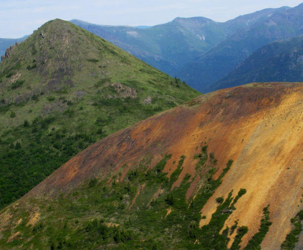
Eagle is a district-scale grassroots gold project in Contango Silver & Gold’s eastern Interior Alaska portfolio. The 64,900-acre claim block was staked in 2012 and 2013 to cover favorable Manh Choh stratigraphy mapped along trend by State geologists, placing it on the same geological trend as the Manh Choh mine.
Historic government stream sediment and pan concentrate sampling from the 1970s revealed widespread copper and arsenic anomalies across the area now covered by the Eagle claims, a strong indication given that arsenic is an excellent pathfinder for gold and gold itself was not analyzed in the original government work.
Key Project Metrics
LocationEastern Interior Alaska, along trend from the Tetlin Hills
Ownership100% Contango Silver & Gold; State of Alaska mining claims
Target TypeManh Choh-style and intrusion-related gold systems
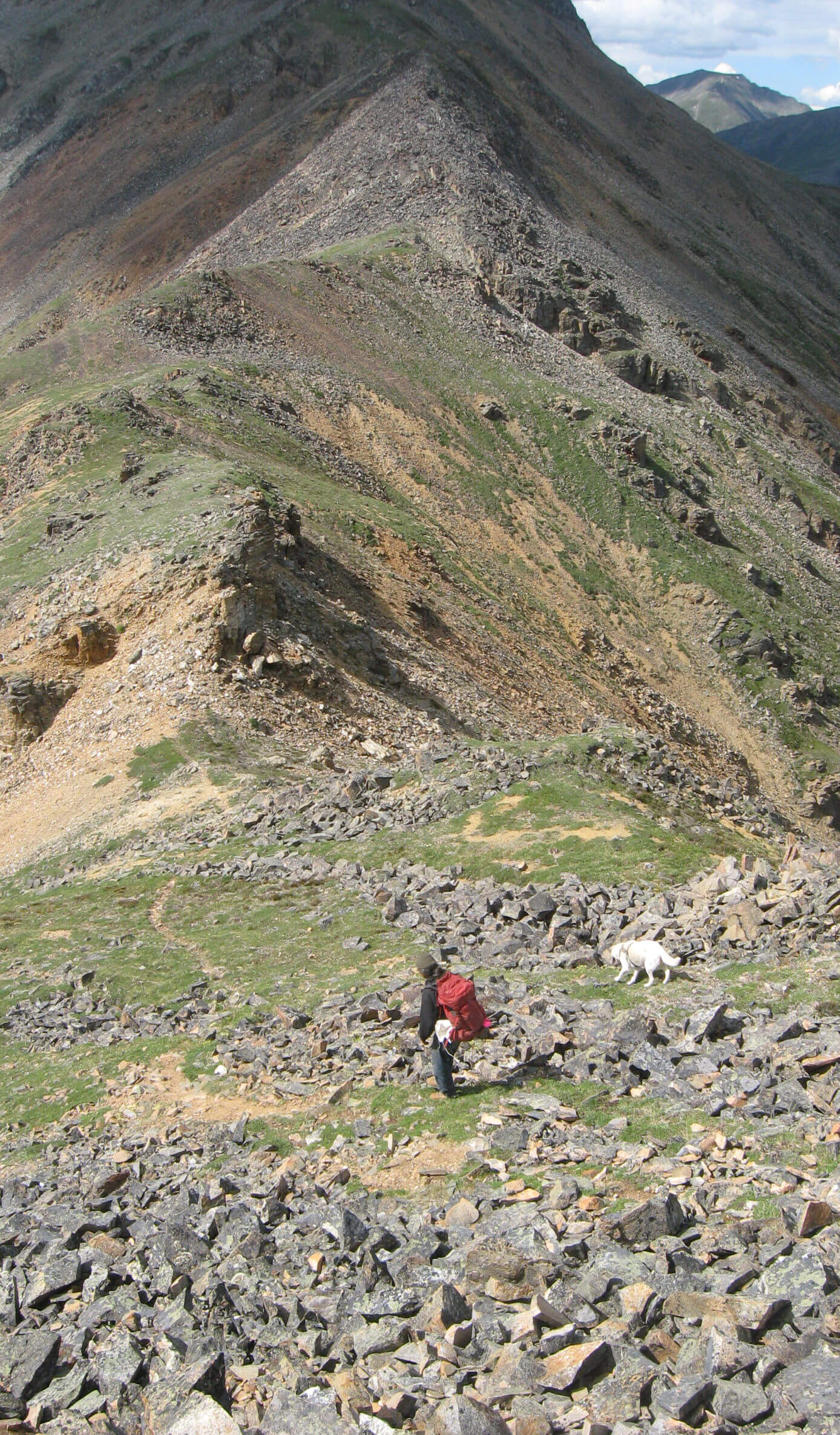
AccessHelicopter supported
Unlocking mineral potential
Exploration Rationale & Plan
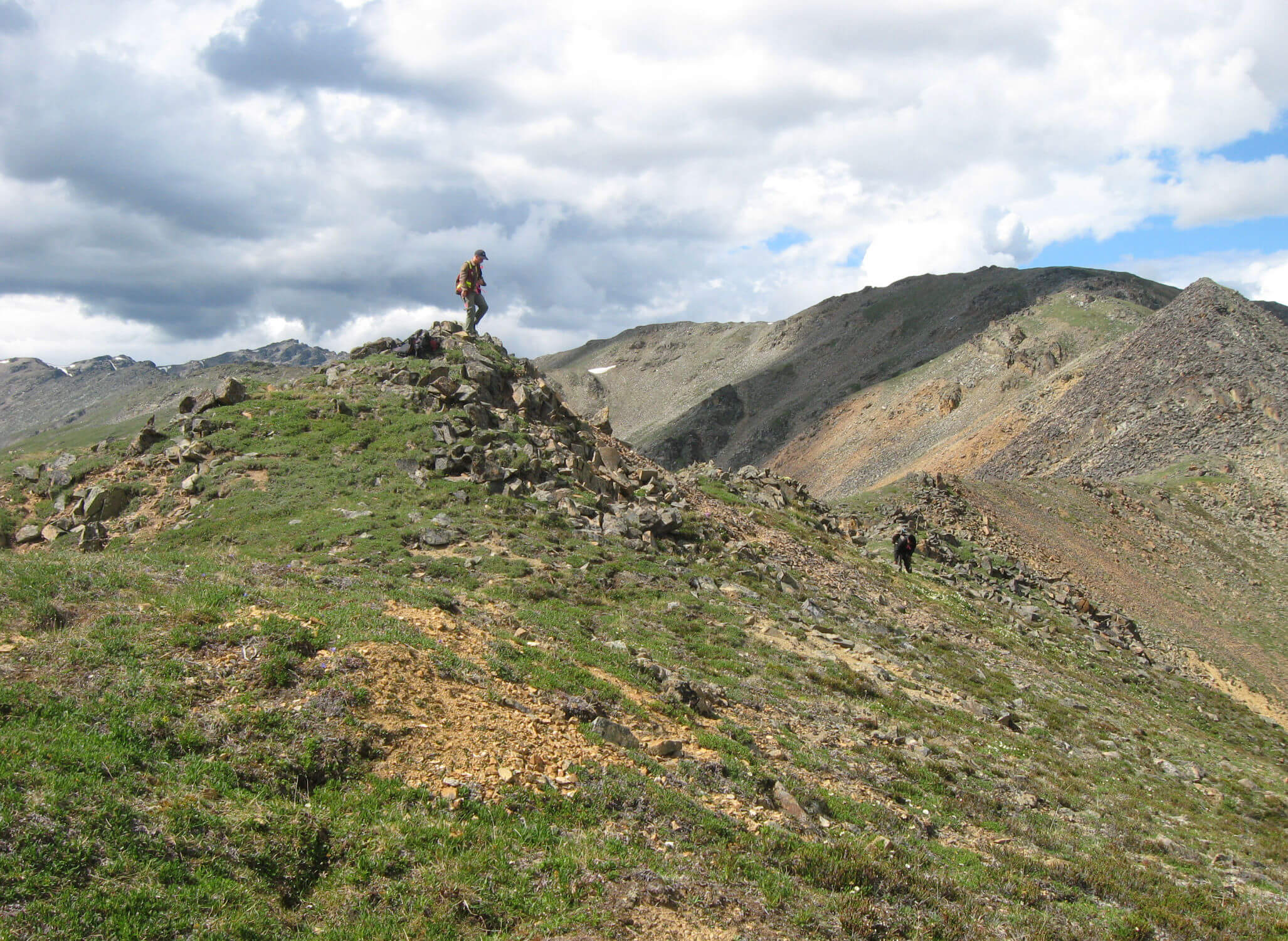
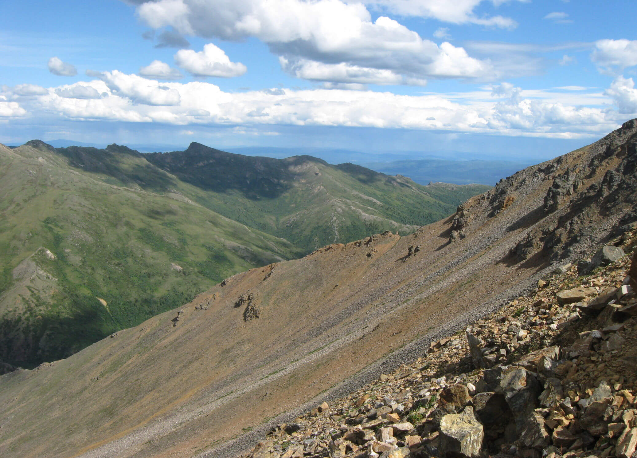
The ground was staked because it shares the stratigraphy that hosts the Manh Choh deposit. Contango’s own reconnaissance stream sediment and pan concentrate program across the southern part of the block identified a northwest-trending corridor of more than 10 kilometers in which every creek draining the northeast slopes of the mountains is strongly anomalous in gold, arsenic, and copper. Follow-up sampling extended anomalous results northwest toward the Dome prospect, where fewer streams have been tested to date.
Follow-up exploration will focus on the highly prospective area between the Eagle and Dome prospects, with the objective of advancing geochemical anomalies to drill-ready targets.