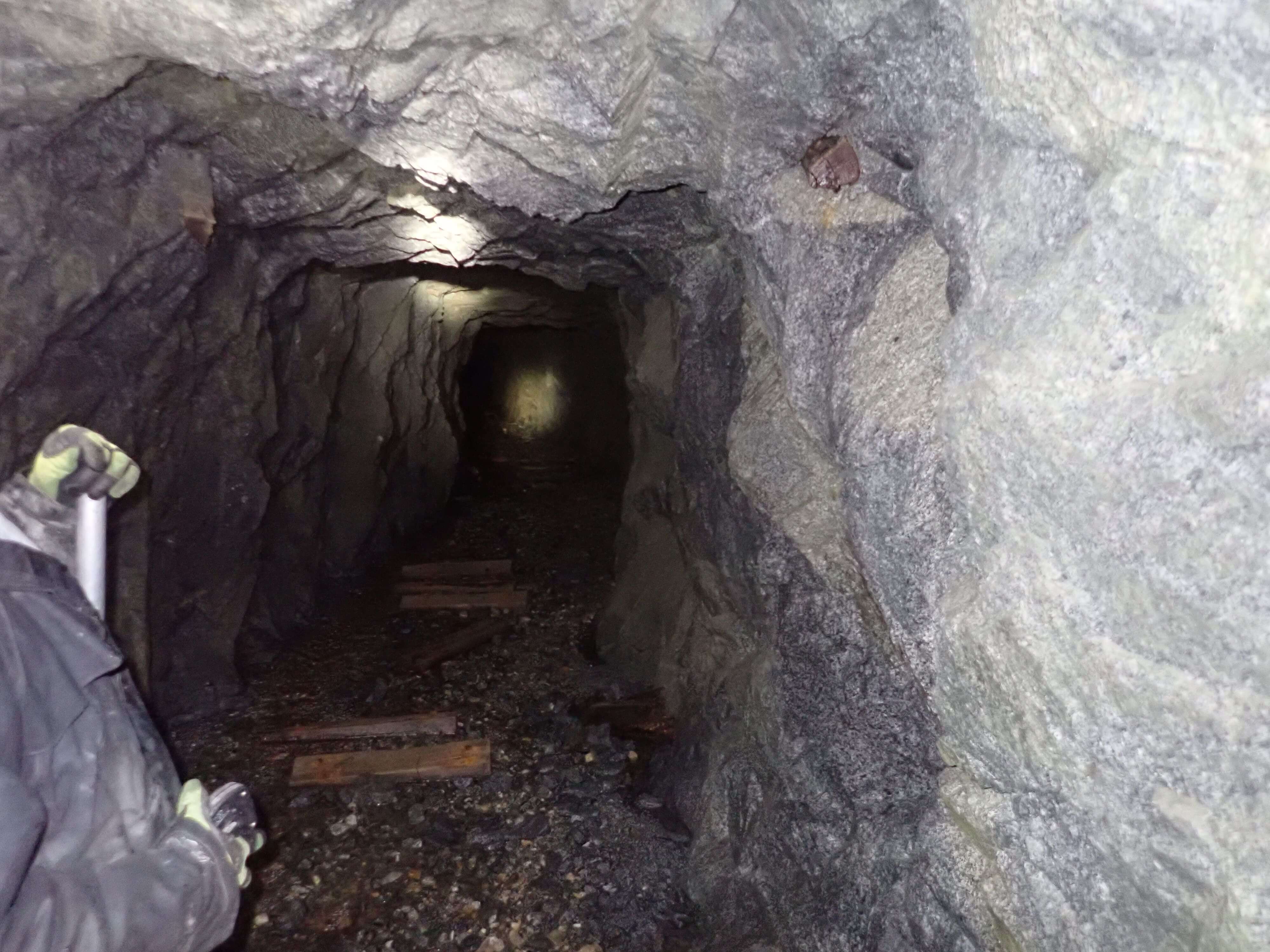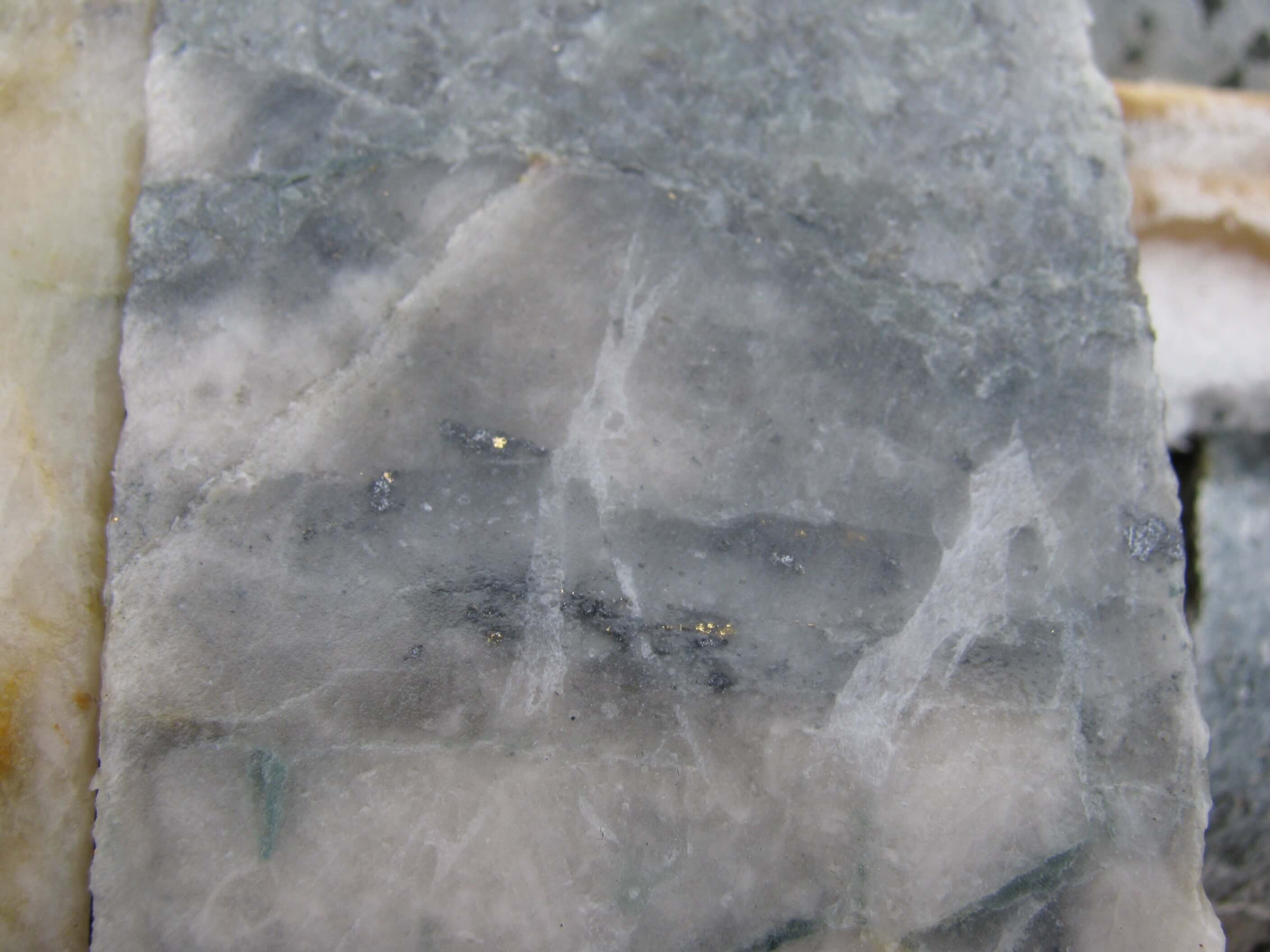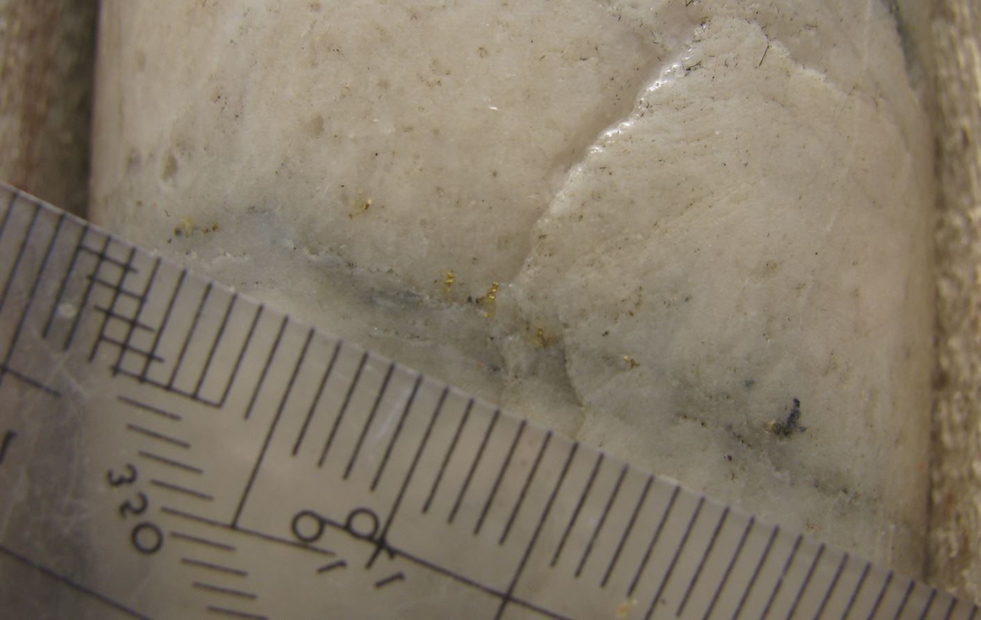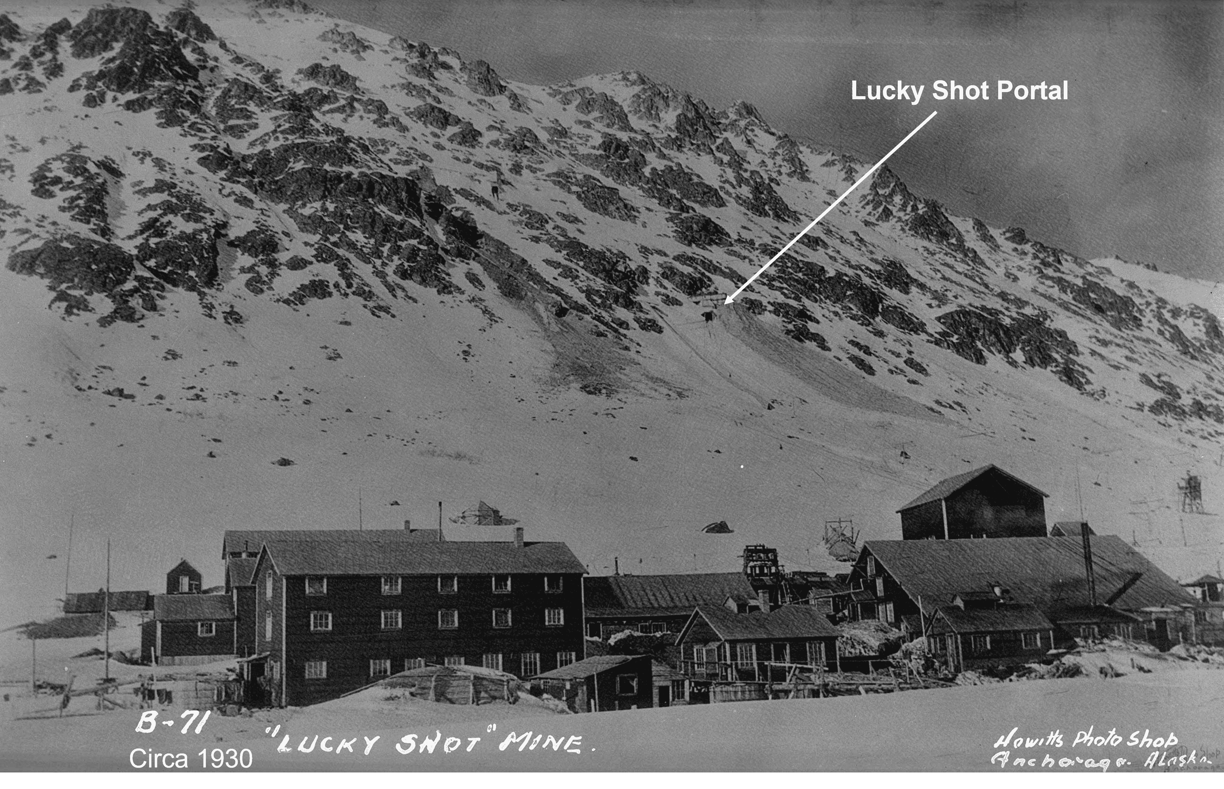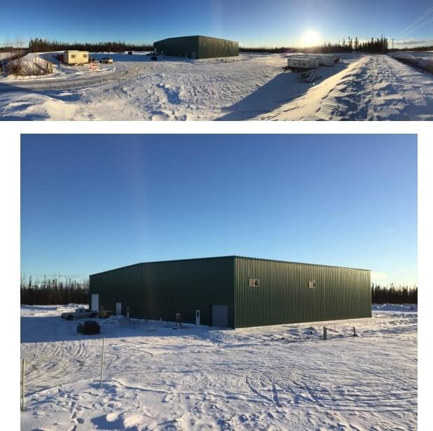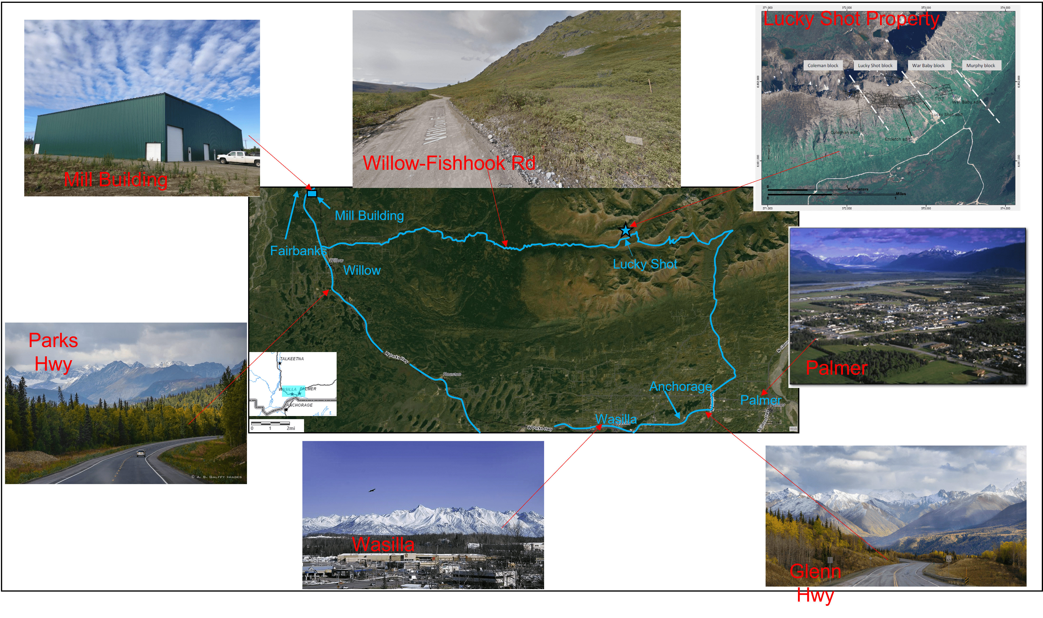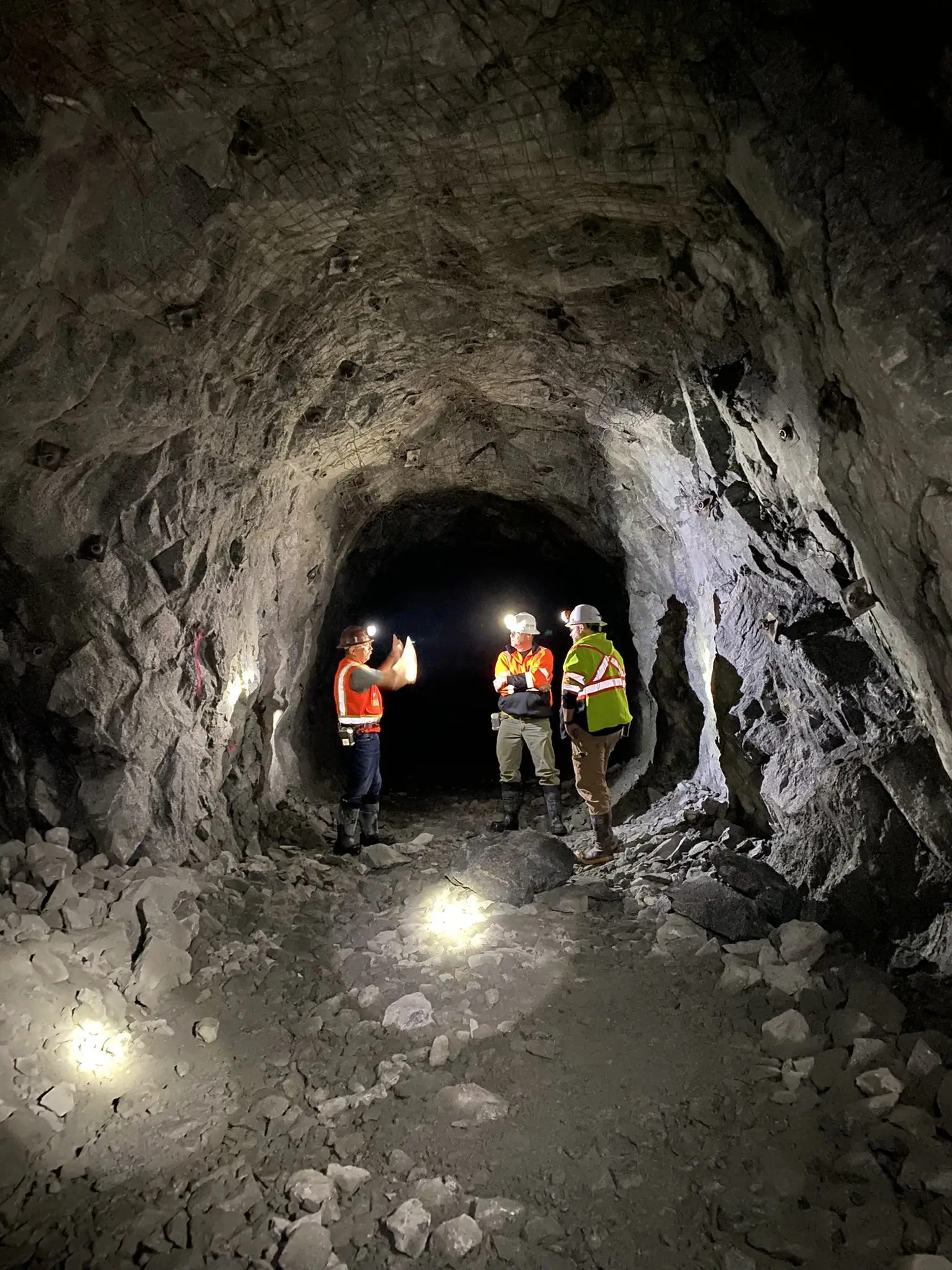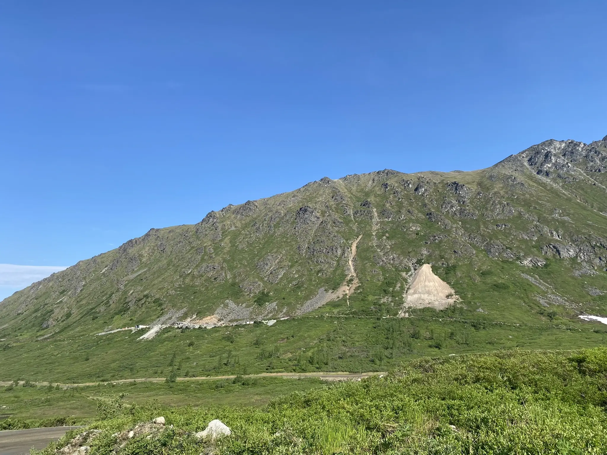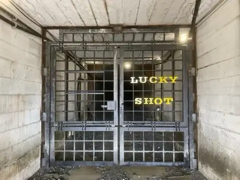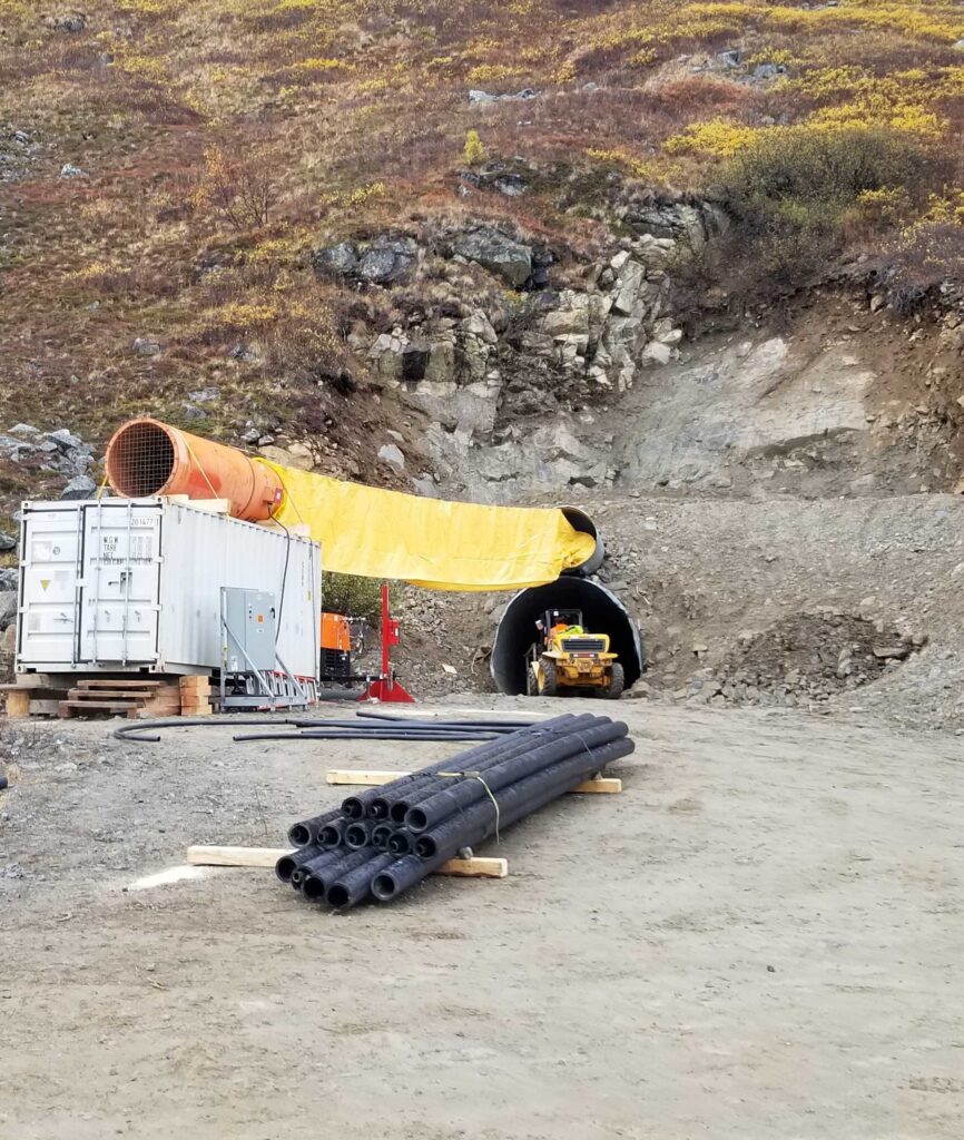
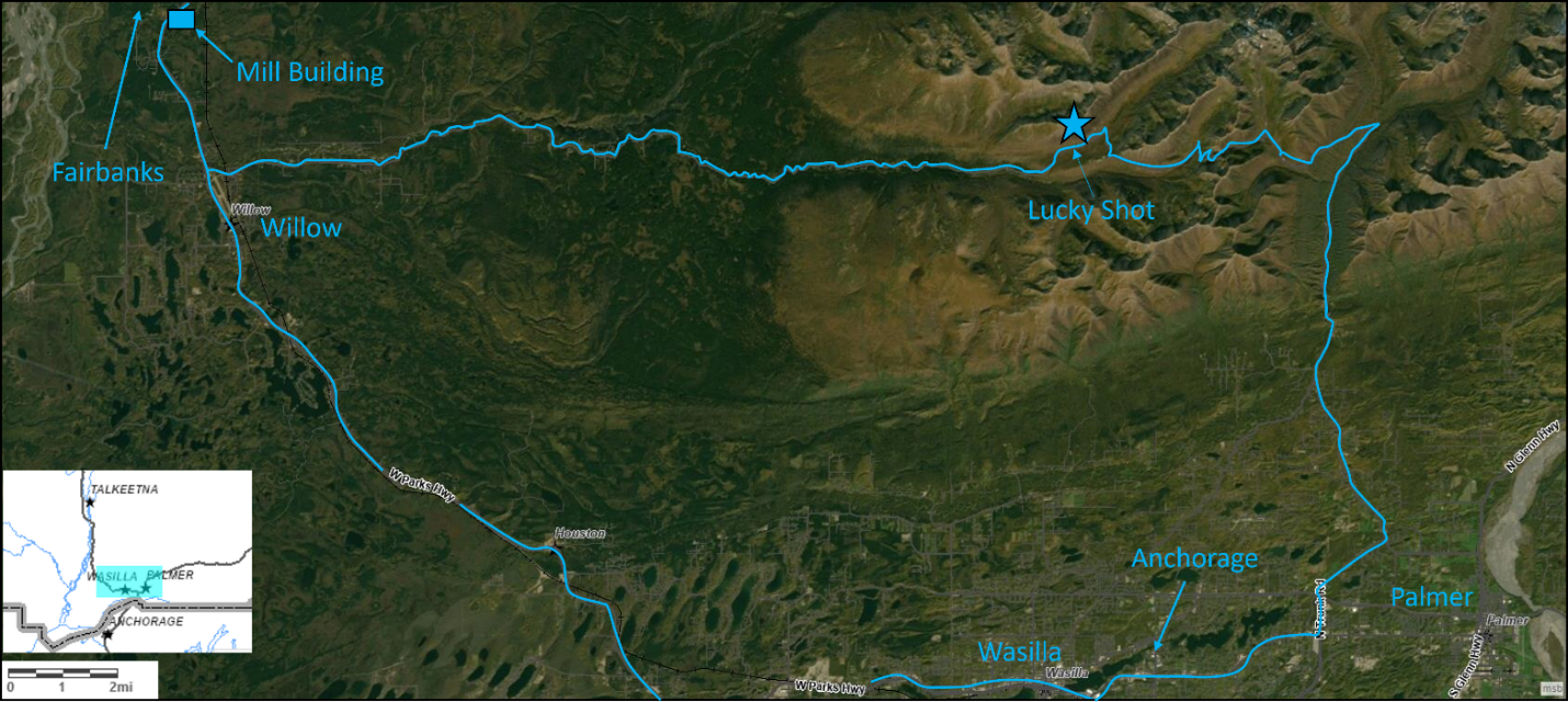
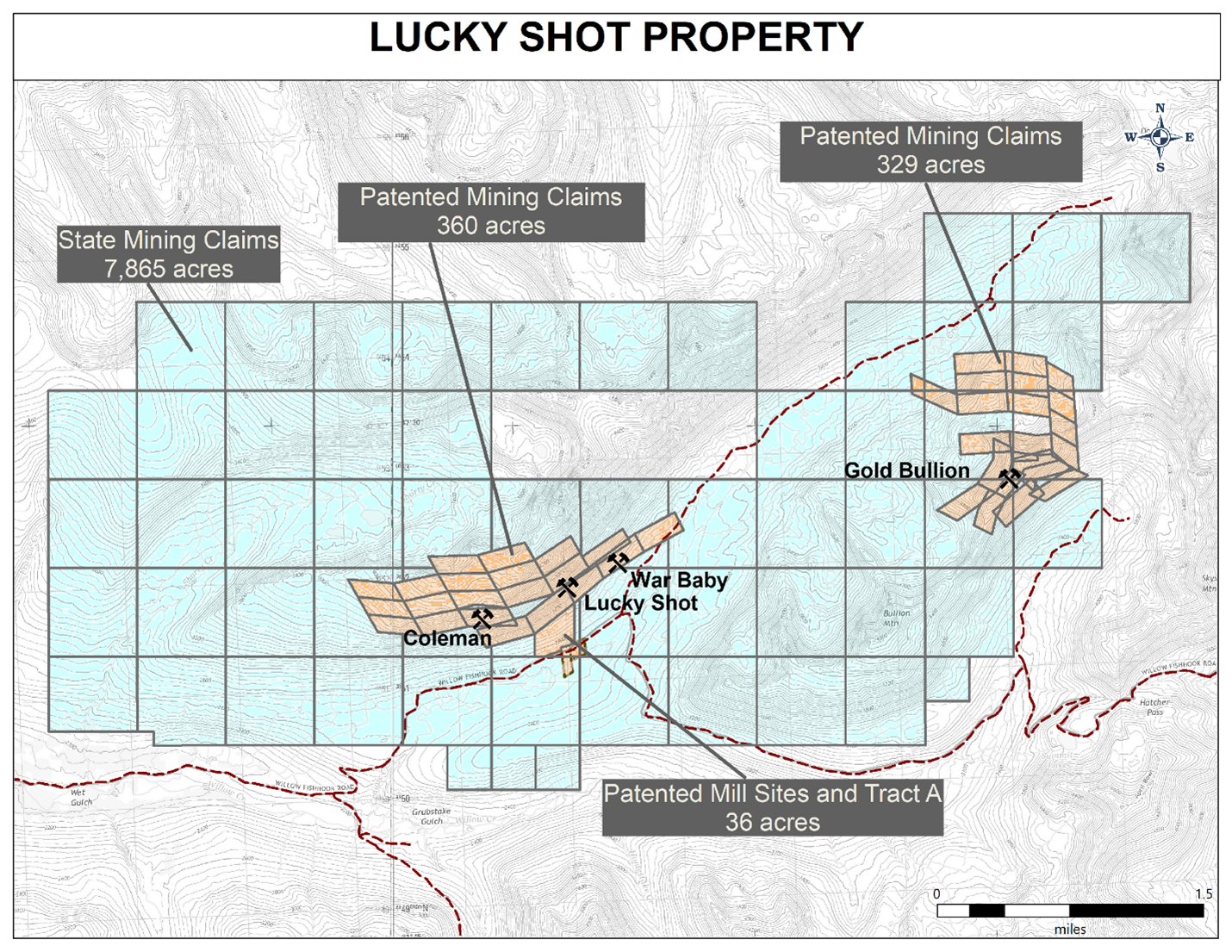
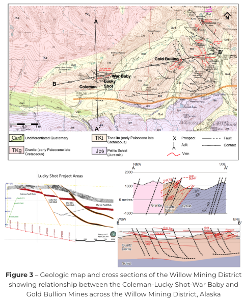
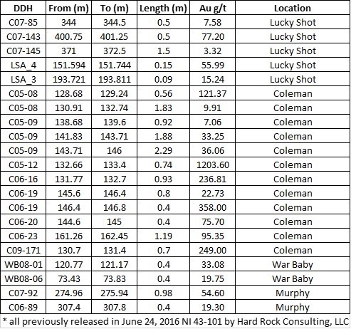
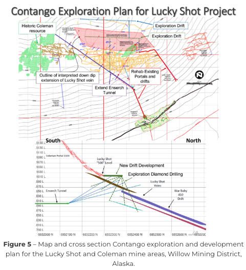
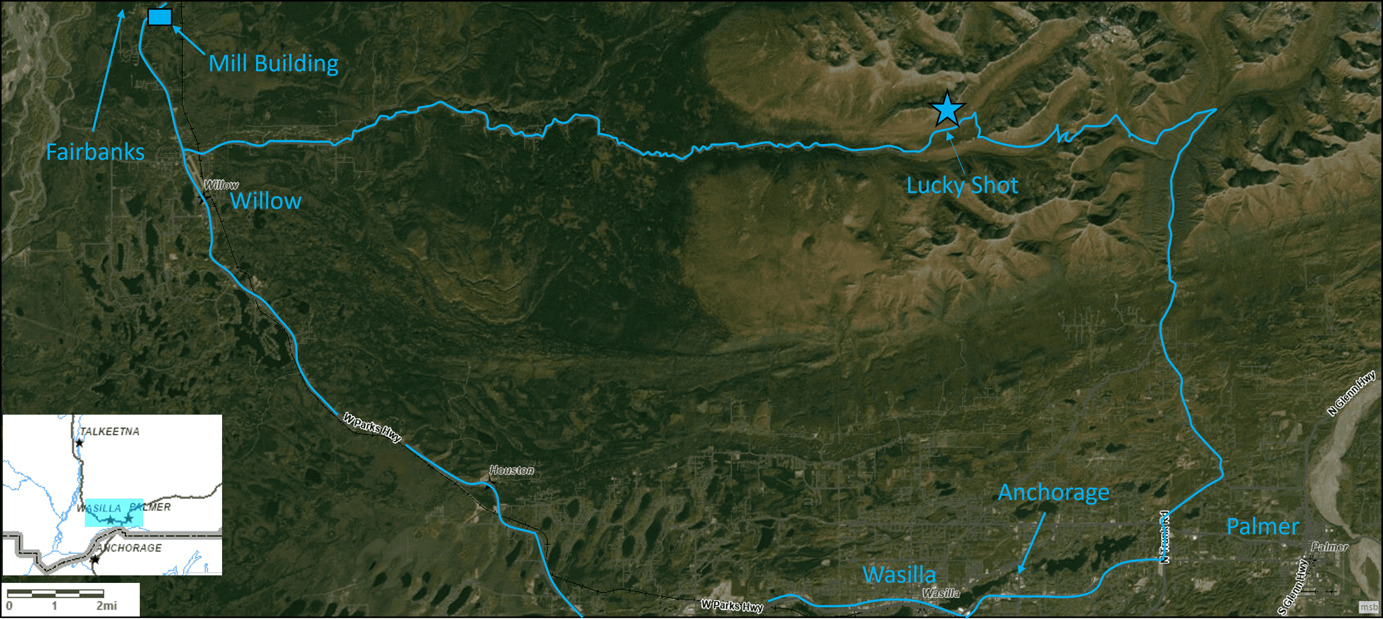
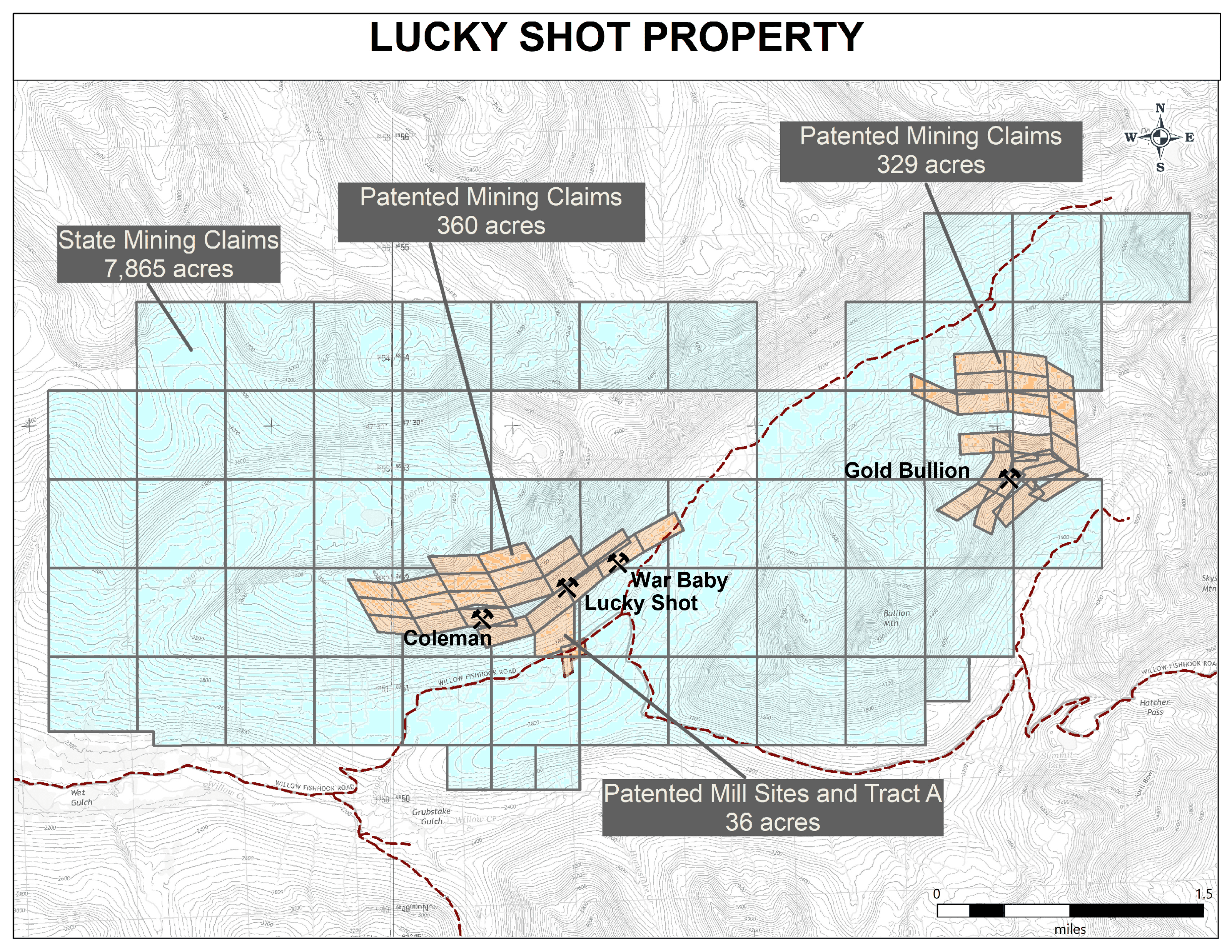
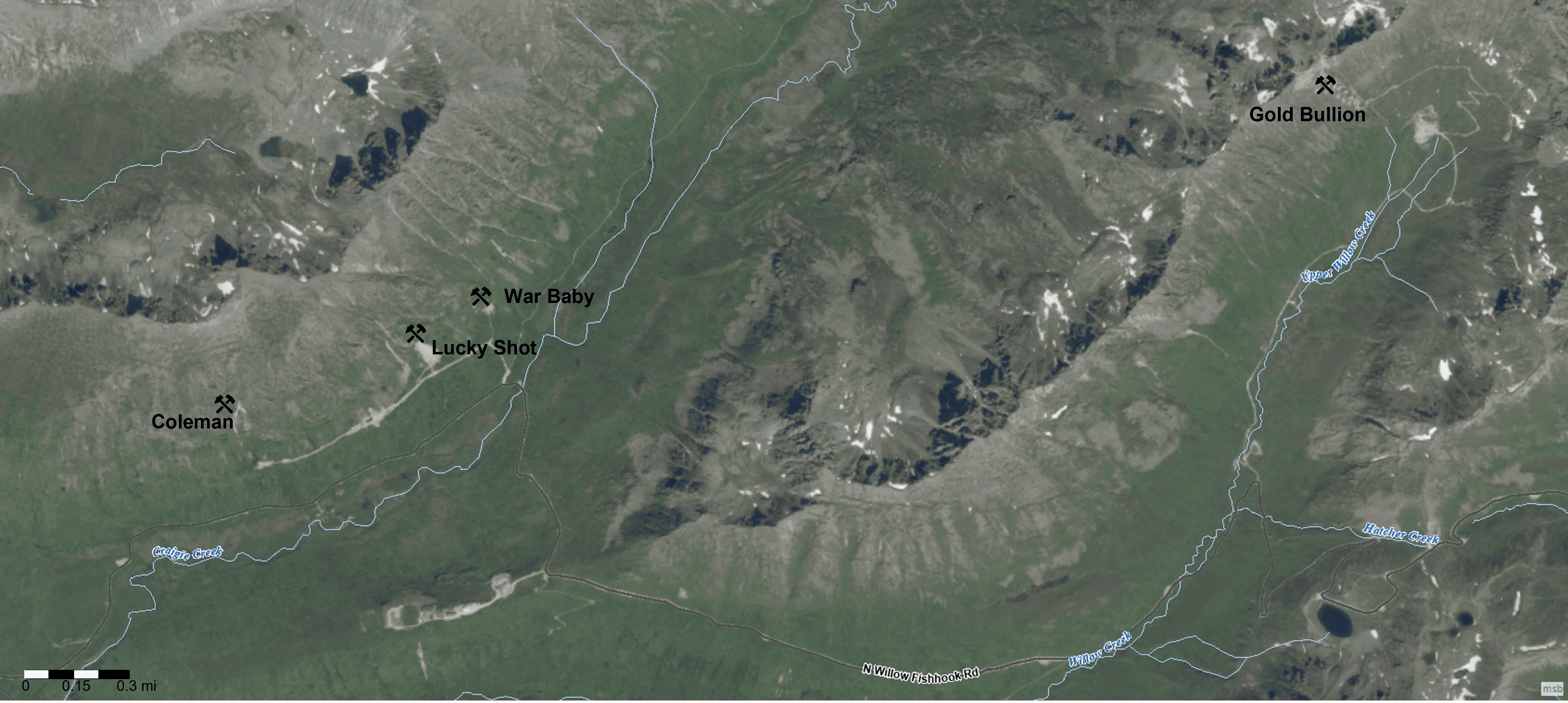
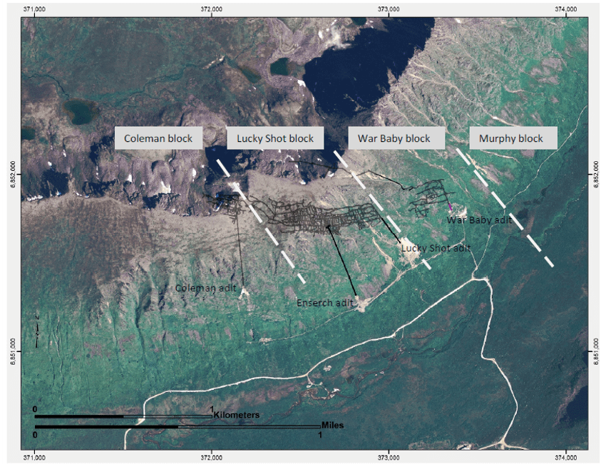
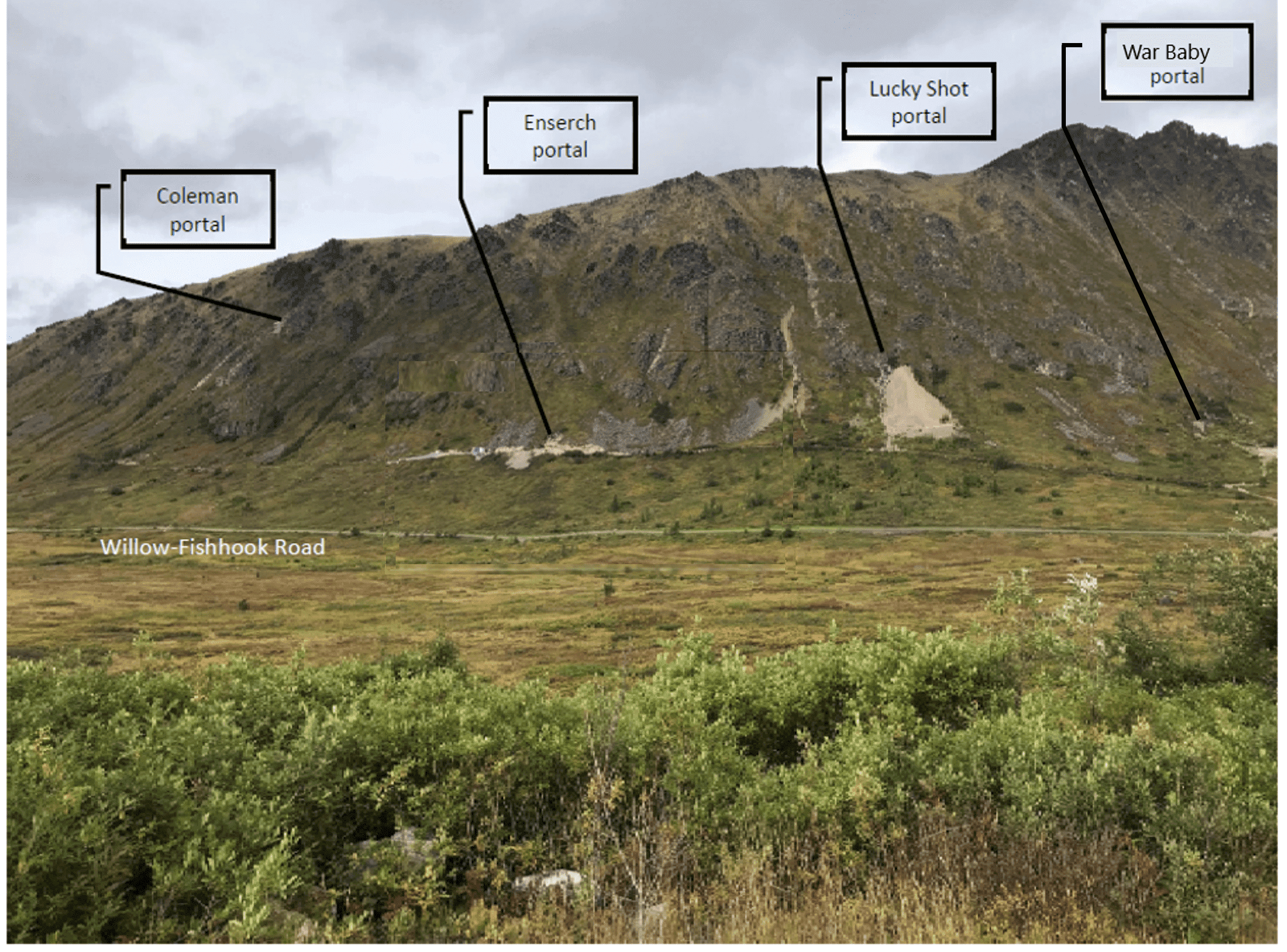
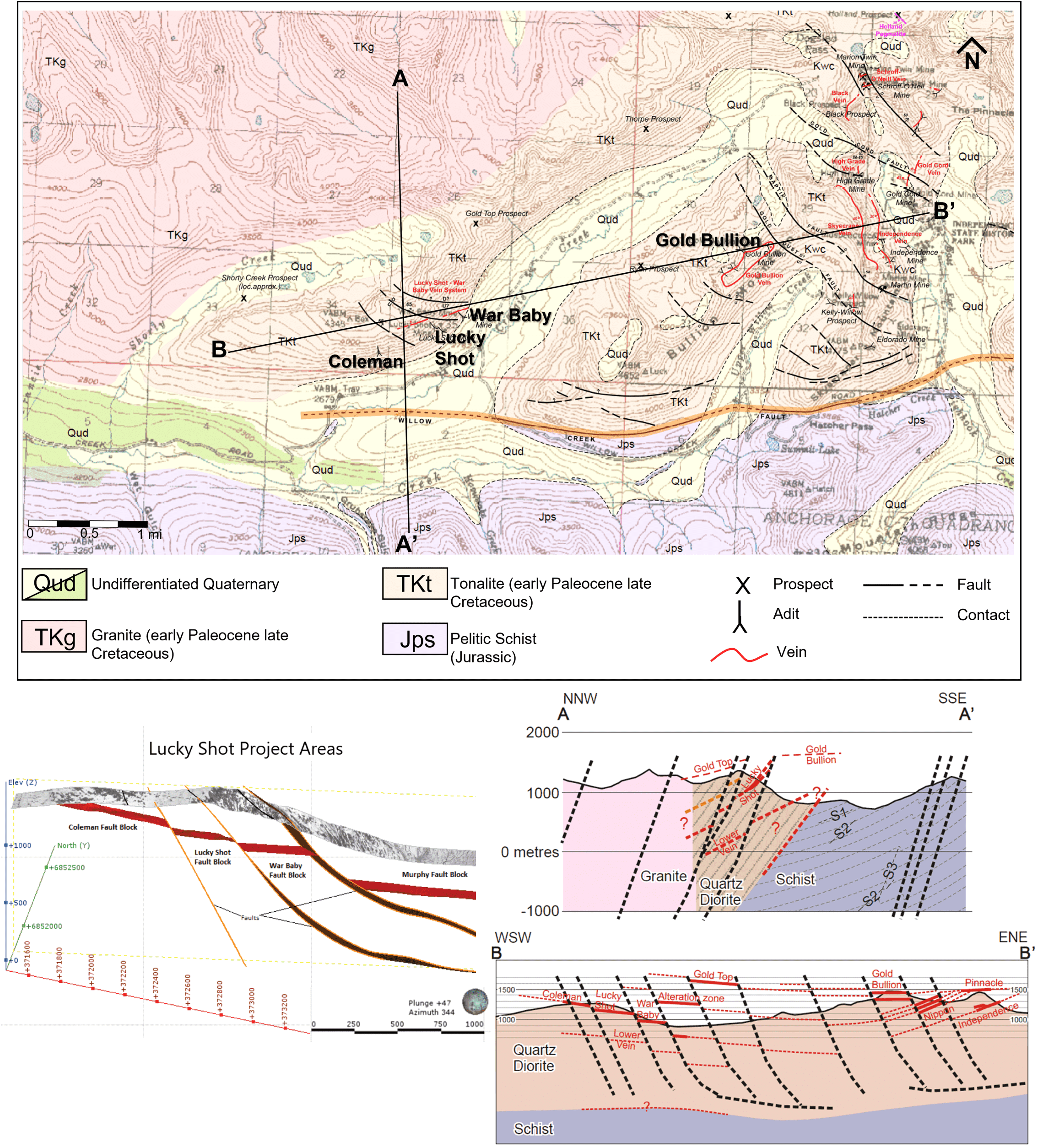
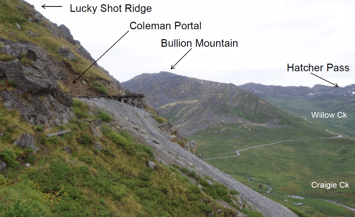
[1],[2] The Willow Creek Mining District is located in the southern Talkeetna Mountains of southcentral Alaska and covers an area of approximately 175 sq. km (68 sq. mi. – see Capps, S.R., 1915). The mining district straddles the margin of a granodiorite batholith that forms the Talkeetna Mountains and is bounded on the south by the Castle Mountain fault system (see Figure 3). Total gold production from the Willow Creek district through 1950 was reported to be 19 metric tonnes or approximately 610,874 troy ounces from ores ranging between 30 and 60 g/t (Harlan, et al., 2017) making it the third largest historic lode gold producing district in Alaska. Production from the Lucky Shot was reported to have been 252,000 oz from 169,000 tons of free-milling ore indicating an average head grade of 1.5 oz/ton (1.6 oz/tonne) (Stoll, 1997), with additional production from the Coleman and War Baby mines. The Lucky Shot vein system was determined to be continuous from the War Baby to the Coleman across the project area – approximately 1.6 kms (1 mile), with two high-angle faults structures segmenting the vein into three blocks (i.e., the Coleman block, Lucky Shot block and War Baby block). A third fault structure further east was determined to separate the War Baby block from drilling that intersected the vein structure in what is known as the Murphy block – extending the known vein structure another 600 meters (~2000’) further east (see Figure 3). Between the Coleman and War Baby mines the vertical and lateral offset is a few meters up to tens of meters which allowed historic mining to continue across faults in a near-continuous manner. This similar magnitude of vertical and lateral displacement is defined as an oblique-slip fault and is typical of a transpressional structural environment. District geologic mapping (Harlin et al., 2017 and several USGS Reports) show that the Castle Mountain fault is a major regional strike slip fault and that the Hatcher Pass Fault is a sympathetic fault that places a thick section of Cretaceous(?) schists up against a rigid body made up of the late Cretaceous Willow Creek batholith (see Figure 3). The Company believes the contact environment between these two disparate lithologies is an ideal location for low angle, listric fault-controlled quartz vein hosted gold deposits (Groves, D. I. et al, 1997), characteristic of the Willow district.
[1],[2] The Willow Creek Mining District is located in the southern Talkeetna Mountains of southcentral Alaska and covers an area of approximately 175 sq. km (68 sq. mi. – see Capps, S.R., 1915). The mining district straddles the margin of a granodiorite batholith that forms the Talkeetna Mountains and is bounded on the south by the Castle Mountain fault system (see Figure 3). Total gold production from the Willow Creek district through 1950 was reported to be 19 metric tonnes or approximately 610,874 troy ounces from ores ranging between 30 and 60 g/t (Harlan, et al., 2017) making it the third largest historic lode gold producing district in Alaska. Production from the Lucky Shot was reported to have been 252,000 oz from 169,000 tons of free-milling ore indicating an average head grade of 1.5 oz/ton (1.6 oz/tonne) (Stoll, 1997), with additional production from the Coleman and War Baby mines. The Lucky Shot vein system was determined to be continuous from the War Baby to the Coleman across the project area – approximately 1.6 kms (1 mile), with two high-angle faults structures segmenting the vein into three blocks (i.e., the Coleman block, Lucky Shot block and War Baby block). A third fault structure further east was determined to separate the War Baby block from drilling that intersected the vein structure in what is known as the Murphy block – extending the known vein structure another 600 meters (~2000’) further east (see Figure 3). Between the Coleman and War Baby mines the vertical and lateral offset is a few meters up to tens of meters which allowed historic mining to continue across faults in a near-continuous manner. This similar magnitude of vertical and lateral displacement is defined as an oblique-slip fault and is typical of a transpressional structural environment. District geologic mapping (Harlin et al., 2017 and several USGS Reports) show that the Castle Mountain fault is a major regional strike slip fault and that the Hatcher Pass Fault is a sympathetic fault that places a thick section of Cretaceous(?) schists up against a rigid body made up of the late Cretaceous Willow Creek batholith (see Figure 3). The Company believes the contact environment between these two disparate lithologies is an ideal location for low angle, listric fault-controlled quartz vein hosted gold deposits (Groves, D. I. et al, 1997), characteristic of the Willow district.
.jpg)